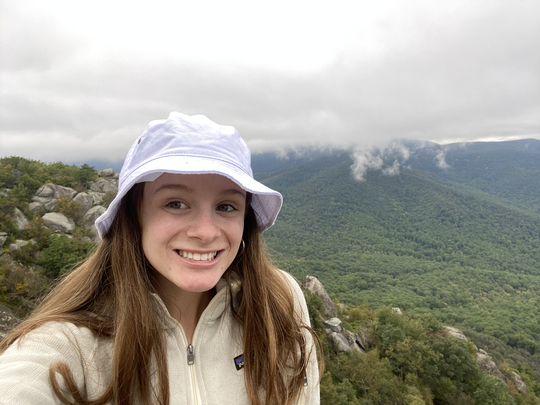
During her free time in Vientiane, Laos, Caroline Morin ’22 often found herself motorbiking around the capital city’s special economic zones, where she was able to witness her research interest in person. No longer staring at Chinese development financing projects on her computer in Williamsburg, VA, Morin, who was working in Laos under the Freeman Intern Fellowship the summer after her freshman year, found herself even more drawn to the topic of Chinese international development.
“I would say living in Laos really changed everything,” Morin said. “On Sunday mornings, I would go see what the status of construction projects were. That’s just what I did for fun because Laos borders China. It was really transformational for my research being like…this is something I’m really interested in and finally being able to see it.”
Morin has been researching international aid since high school and took a gap year before her freshman year, where she was able to delve more into the topic. When she started at William and Mary, Morin became a research assistant at an on-campus lab that introduced her specifically to Chinese development financing. However, Morin wanted to search for more student-led research initiatives, which she found at the geoLab.
“I spent the summer exploring more topics on Chinese development financing because I was living in Southeast Asia,” Morin said. “And that’s how I met Matt Crittenden. And because he was also in Southeast Asia at the time (at the beginning of sophomore year), we sat down and chatted, and he told me all about the BRIGHT team and what they were doing. And I was like, ‘Oh, this is the exact topic I want to research but from a more student-driven perspective.’”
Matthew Crittenden ’21 is the team lead for geoParsing (one of the four student-led research teams in the geoLab) and introduced Morin to the Belt-Road Initiative Geospatial and Headline Tracking (BRIGHT) team. The Belt and Road Initiative (BRI) is a global infrastructure development plan by the Chinese government that invests in over 70 countries. The BRIGHT team uses satellite imagery to track Chinese development in Latin America and the Caribbean.
The BRIGHT team, which has seven members including Morin, is partnered with the National Geospatial-Intelligence Agency (NGA), a combat support agency under the U.S. Department of Defense. Using NGA-funded commercial imagery, geoParsing is the first undergraduate team the agency has ever paired with. The NGA is also partnered with Columbia University’s international relations graduate program and multiple D.C. think tanks.
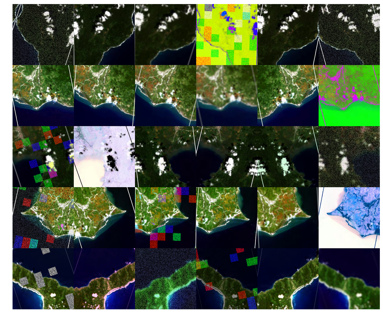
“Say we find a port in Cuba, and we read a lot of open-source information about what is happening in the port and what is being constructed,” Morin said. “We can look at the satellite imagery and say ‘OK, this information is wrong,’ or ‘this information is correct.’ Using satellite imagery is a way of going in-depth and holding open-source information accountable because a lot of times, the satellite imagery tells a very different story from what the news articles are publishing.”
Starting January 2020, Morin was tasked with writing the BRIGHT Team’s research on Bahamian ports in a paper, which would be published on the NGA’s platform named “The Tearline Articles.” Finishing the paper in the middle of June after writing approximately 4000 words, the NGA decided not to publish the piece, due to the specific ports falling into a “gray area” of the BRI.
Though Morin described the NGA’s choice as extremely disappointing, she says she and Crittenden were able to learn from the paper’s shortcomings and improve their research methods approach. Starting late June, Morin began writing the next two papers for the Tearline Articles, in which she worked hard to make sure the information was not in gray area and qualified as part of the BRI.
“We still wanted to talk about ports in the Caribbean because the BRI emphasizes transportation infrastructure, which, in the Caribbean, means ports,” Morin said.
The two papers Morin wrote in the latter half of the summer detailed the BRI’s work in seven Caribbean ports and energy infrastructure in Cuba. Due to U.S. sanctions in Cuba and the BRIGHT team’s mission to avoid any further gray areas, Morin recounted how “extremely complicated” the writing process was for the Tearline Articles. At the end of August, the NGA published Morin’s papers.
“It was very surreal….we were on the front page of intel.gov for over a month, which is so cool,” Morin said. “I think I had reached this place where I was like, ‘are they really ever going to get published?’ The hardest part about the papers after the expectations were set was the editing process. Because constantly you’re going back and editing and having to change things.”
For this upcoming semester, Morin is now the program manager of the BRIGHT team and is excited to implement many of her ideas to improve the team’s research process. The NGA recently approved this year’s project, which will involve the BRIGHT team looking into hydropower in South America. Morin hopes to carry out new methods that will improve efficiency and collaboration within the team.
“They’re such fantastic human beings,” Morin said, describing her team. “I think going into this semester, I came in with a lot of ideas and things I wanted to change about the lab. Our publications were phenomenal….But, just because of logistical difficulties, there was so much more time than I guess anyone expected, and Matt and I weren’t anticipating that we were going to work in the summer…but we did. It all worked out, but I want to change how the team interacts with each other.”
