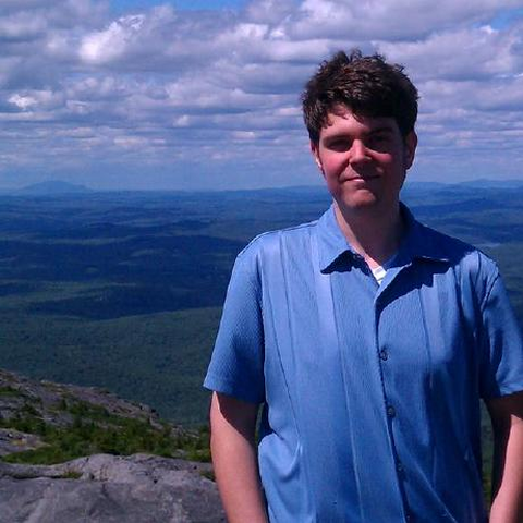
Dan Runfola
I am an assistant professor of Data Science and Applied Science at William & Mary, currently working at the nexus of deep learning and satellite imagery analysis. I work with federal agencies and international NGOs to develop new and secure ways to measure, predict, and improve human wellbeing at micro to macro scales. In collaboration with my wonderful students in the geoLab, I also help to provision critical baseline data to the opensource community to improve data equality around the world.
Things that I spend my time on today include:
- Supporting my undergraduate and Ph.D. students’ research through the ICSS and geolab.
- Coding for the geoBoundaries Open Administrative Boundaries dataset
- Publishing some good ideas, burning cycles on bad ones.
- A range of projects exploring how novel neural network architectures can aid us in extracting data from satellites. I.e., “playing with fancy videocards”.
- Forgetting to update my CV
If you are reading this page, please note that I am always looking for good Ph.D. students! Good at Python, interested in computer vision and satellite data? Like Williamsburg when you came as an elementary school student? Email me!
geoLab: 2021 Annual Report
geoLab: 2020 Annual Report
geoBoundaries: A global database of political administrative boundaries.
Exploring the Socioeconomic Co-benefits of Global Environment Facility Projects in Uganda Using a Quasi-Experimental Geospatial Interpolation (QGI) Approach
geoLab: 2019 Annual Report
Value for Money Analysis of GEF Interventions in Support of Sustainable Forest Management
Using Satellite Data and Deep Learning to Estimate Educational Outcomes in Data Sparse Environments.
Toponym-assisted map georeferencing: Evaluating the use of toponyms for the digitization of map collections
Predicting road quality using high resolution satellite imagery: A transfer learning approach
A convolutional neural network approach to predict non-permissive environments from moderate-resolution imagery
The Global Administrative Database: Accurate, open-source guide to subnational borders
Evaluating the Impact of Environmental Interventions during a Global Quarantine
geoBoundaries: A global database of political administrative boundaries.
Satellite Data Poisoning Project (SDPP)
geoFellows
Climate Intervention Effectiveness Programme (CIEP)
Deep Learning for Satellite Imagery (DL4SAT)
geoBoundaries
Global Education Observatory
Migration and Machine Learning (MML) Project
geoInt
